Why do nor’easters form off the East Coast?
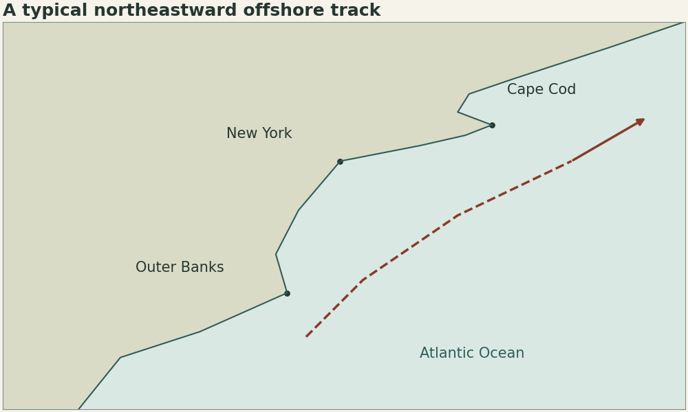
Nor’easters often form near the East Coast because cold continental air sits close to much warmer Atlantic air. An upper-level disturbance can help a low develop along that boundary. The low can then intensify and move northeast as moisture wraps into the circulation.
| Example location | Illustrative near-surface temperature | Position |
|---|---|---|
| Inland plain | −4°C | Cold side |
| Coastal waters | +3°C | Transition |
| Warm offshore current | +14°C | Warm side |
How it works
The Gulf Stream helps maintain the ocean-side warmth and supplies moisture to air passing over it. The land–ocean temperature contrast supports a front, while an approaching upper trough can help air rise and surface pressure fall. A storm can pull cold air south on its inland side and transport warm, humid air north on its ocean side. Check the surface front and upper-level flow together before interpreting a satellite image.
How did a documented low follow this setup?
The February 2026 Rhode Island storm developed around the Outer Banks on February 22 and deepened offshore before passing southeast of Cape Cod. See the state record committee’s surface analyses linked below. The temperatures in this table are synthetic and show the shape of the cross-shore contrast.