What does the 40°N, 70°W benchmark mean for New England snow?
The 40°N, 70°W benchmark is a reference point in the Atlantic south of Cape Cod. Southern New England forecasters use it to describe how close a coastal low passes to a track that can favor snow inland.
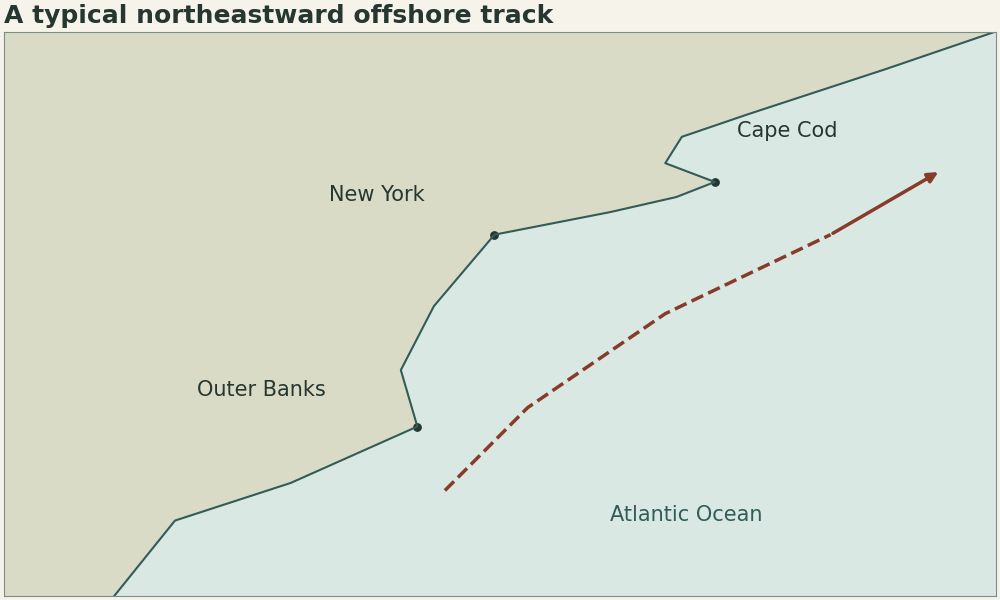
| Reference | Latitude | Longitude |
|---|---|---|
| Forecast benchmark | 40°N | 70°W |
| Cape Cod | Approximately 42°N | Near 70°W |
How it works
The benchmark does not specify the temperature profile or width of the precipitation shield. The February 2026 state snowfall record memorandum traced the centre southeast of the benchmark, while Warwick recorded 37.9 inches in 24 hours. In the January 2022 WPC case Boston Logan received 23.8 inches over the storm and Providence received 19.3 inches. Those totals describe different storms and measurement windows. They illustrate why a track discussion needs station data beside it.
Would a cyclone passing near the point guarantee snow in Boston?
No. The air column must remain cold enough, and the heavy band still needs to reach the station. Use the benchmark with temperature and precipitation forecasts.