How is a nor’easter different from a hurricane on a weather map?
A nor’easter typically has fronts and feeds on horizontal temperature contrasts. A mature tropical hurricane organizes around a deep warm core and usually lacks surface fronts. Both can flood the coast and produce dangerous wind.
| Map clue | Typical nor’easter | Mature tropical hurricane |
|---|---|---|
| Surface boundaries | Warm, cold or occluded fronts | No fronts in the inner circulation |
| Wind field | Can peak well away from the low | Often strongest around the inner core |
| Structure | Temperature gradients and asymmetric precipitation | Deep warm core and organized inner convection |
How it works
Begin with the surface map. A front approaching or wrapping around the low points toward a frontal cyclone. Look next at temperatures aloft: a tropical warm core has comparatively warm air over its center through much of the troposphere. A tropical system can acquire fronts and spread its strongest winds over a broader area during extratropical transition. Use the issuing agency’s latest analysis for a transitioning storm.
Apply the map clues
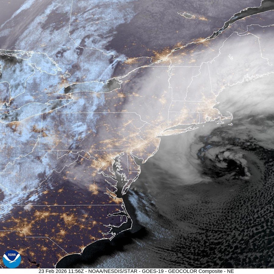
The February 2026 offshore cyclone’s analyzed fronts extend away from a deep surface low. Compare the surface chart in the committee report with a hypothetical tropical cyclone that has a warm core and closed circulation without fronts. An eye-like satellite feature alone cannot establish cyclone type.
Sources
- NOAA NESDIS · What is a nor’easter? Satellite perspective
- Roland Stull · University of British Columbia · Practical Meteorology, chapter 13 · Extratropical Cyclones
- Roland Stull · University of British Columbia · Practical Meteorology, chapter 16 · Tropical Cyclones
- NOAA state record committee · surface analyses of the February 2026 cyclone