What snowfall record did the February 2026 Rhode Island blizzard set?
Trace the certified 37.9-inch Rhode Island snowfall record to the T. F. Green airport observer and compare it with local blizzard observations.
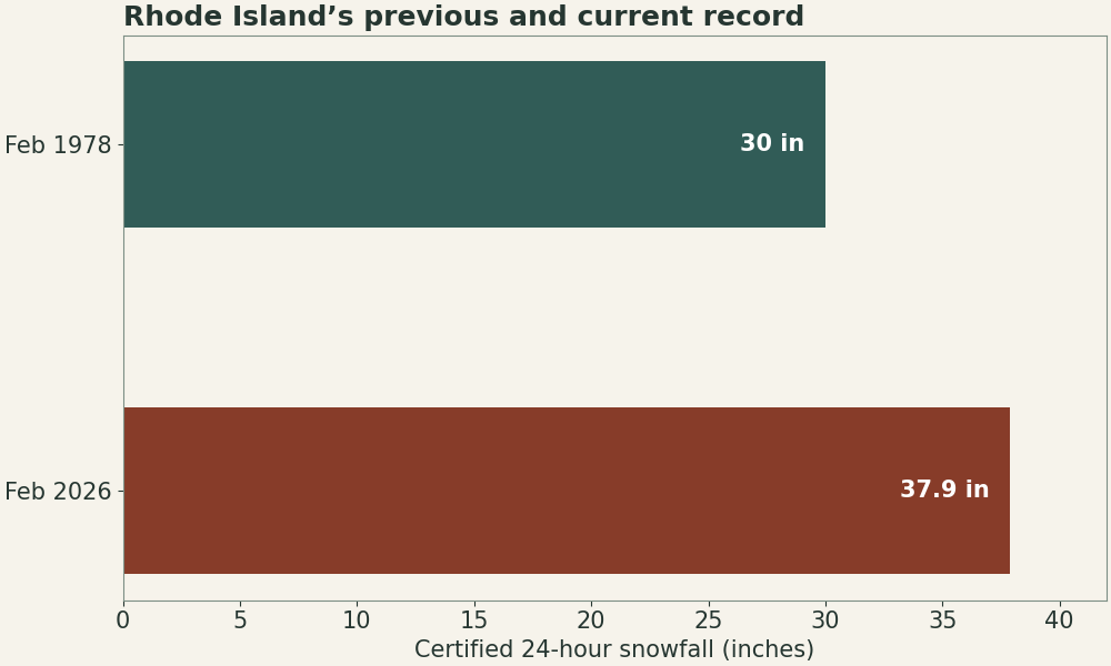
Rhode Island’s certified 24-hour snowfall record is 37.9 inches (96.3 cm) at Rhode Island T. F. Green International Airport in Warwick, February 22–23, 2026. NOAA identifies the site as cooperative station 37-6698. The measurement applies to one observing site and a 24-hour window. NOAA record announcement.
| Measurement | Window or value |
|---|---|
| State snowfall record | 37.9 in in a 24-hour period, February 22–23 |
| Blizzard conditions at airport PVD | 5:25 a.m. to 2 p.m. EST February 23 (10:25–19:00 UTC) |
| Three-hour blizzard threshold reached | 8:25 a.m. EST (13:25 UTC) |
How the observer handled drifting snow
The committee reviewed the original worksheet, nearby reports, radar evidence and a site visit. The airport observer compared measurements around the regular board with readings from a second sampling site in a more open area behind the tower. In the committee memorandum and observer worksheet, the snowfall column tracks newly fallen snow. The snow-depth column tracks material already on the ground, which can drift and settle.
How the blizzard window was measured
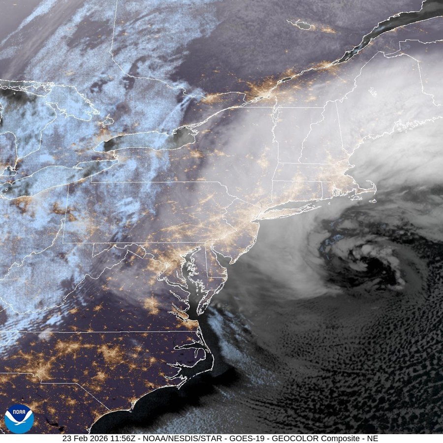
The NWS Boston/Norton airport summary tracks hours with very low visibility and sustained or frequently gusting winds. At PVD the qualifying conditions persisted from early morning into the afternoon. That wind and visibility window overlaps the snowfall record’s dates and measures a different quantity.
What record did it replace?
NOAA lists the previous Rhode Island 24-hour record as 30 inches. The new certified value exceeded it by 7.9 inches, or about 26%. This comparison uses Rhode Island’s state 24-hour record series. A city’s calendar-day, winter-season or unofficial storm-total ranking can yield a different list.