Where Do Supercells Form?
Find out why the Great Plains are known for supercells and how rotating thunderstorms also form in the Southeast, Canada and Australia.
Supercells form where thunderstorms can grow in air with enough vertical wind shear to sustain a rotating updraft. The central U.S. Great Plains are a familiar setting. The same ingredients can come together in the Southeast, the Great Lakes region, southern Canada and parts of Australia.
Start with the weather pattern. Find the unstable air, find the boundary that could lift it, then look at how the wind changes above the surface.
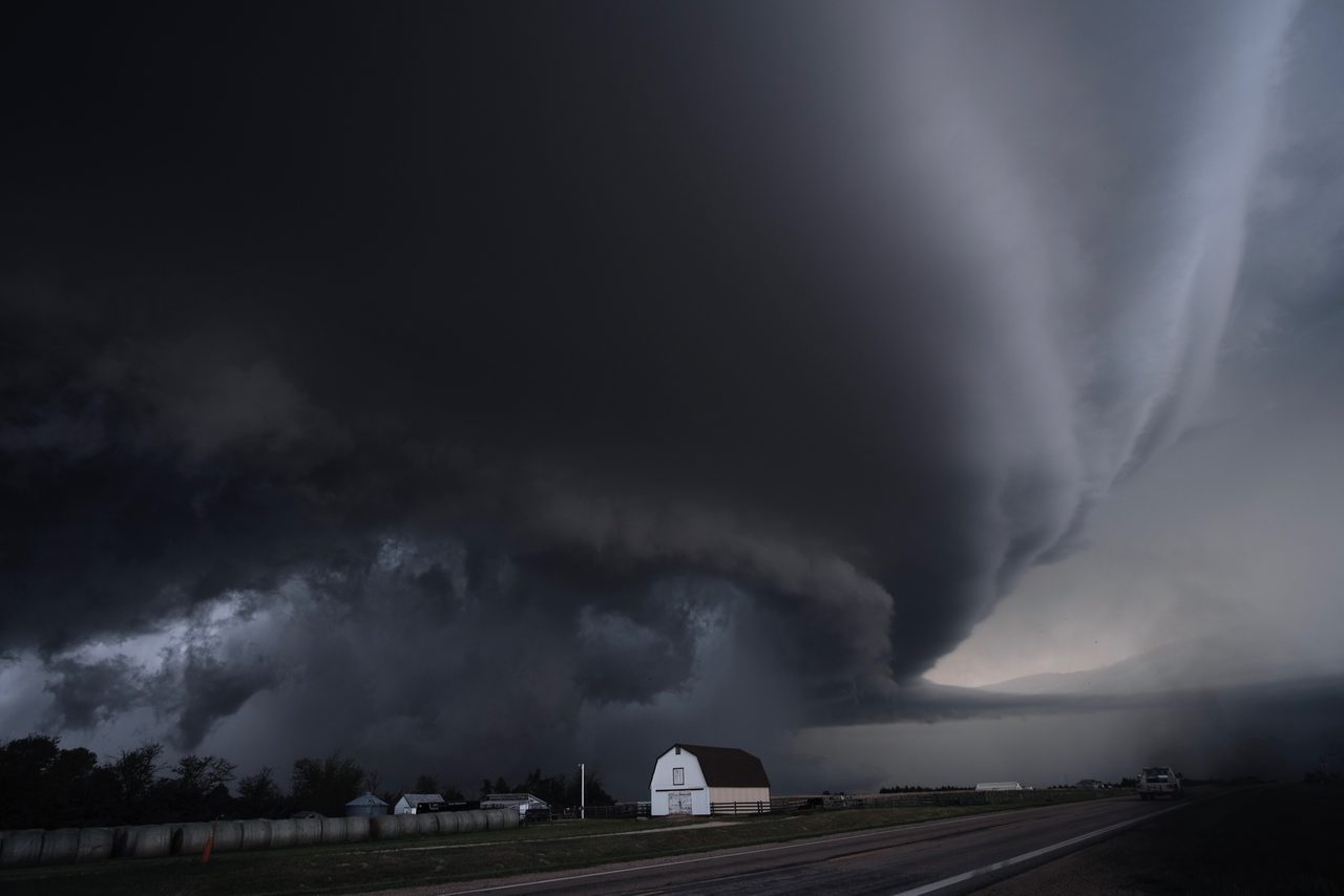
Why the Great Plains are a classic setting
Moist air from the Gulf of Mexico can spread north across the Plains. A dryline separates that air from drier air to the west. If air near the boundary rises far enough, an isolated thunderstorm can form. Stronger winds aloft or winds that turn with height help organize a rotating storm. The dryline supplies a possible starting point. Storms still depend on the local cap, lift and wind profile.
Where else have supercells formed?
| Region | A useful way to think about it |
|---|---|
| U.S. Southeast | Moist environments can support rain-heavy supercells. A storm may be isolated or embedded in larger convection. |
| Southern Canada | Alberta’s foothills and Plains have produced hail-producing supercells. Around the Great Lakes, lake-breeze boundaries can help initiate storms. |
| Eastern Australia | A Bureau of Meteorology case study documents supercells in the October 2020 Brisbane hailstorm. |
Can they form outside Tornado Alley?
Yes. Tornado Alley describes a broad area associated with tornadoes. Supercells range beyond that area, and many never produce a tornado. A map of tornado touchdowns misses storms that produced only hail, damaging wind or heavy rain.
See how the ingredients come together in Southern Ontario, or compare the simulator’s Plains and humid Southeast presets.