Why Do Supercells Form?
Follow the four ingredients behind a supercell and see how a rising updraft turns wind shear into persistent rotation.
Supercells form when a thunderstorm’s rising air develops deep, persistent rotation. Moisture and instability feed the updraft, lift starts the storm, and vertical wind shear helps organize the rotation.
A dark sky or a towering anvil can make a storm look impressive. The defining feature is what the air inside the storm is doing.
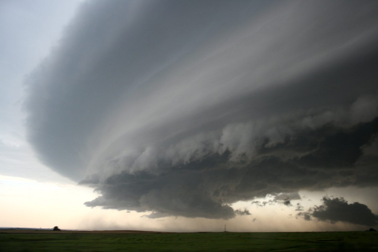
What starts the thunderstorm?
Moist air near the ground can rise when it encounters a front, a dryline, an outflow boundary or higher terrain. If the lifted parcel becomes warmer and less dense than the air around it, buoyancy keeps it rising. A stable layer called a cap can inhibit that rise until there is enough lift.
Why does the updraft rotate?
Wind shear means wind speed or direction changes with height. That difference can give the air a tendency to roll about a horizontal axis. A growing updraft tilts some of that rotation toward the vertical. As rising air stretches the rotating column, rotation can intensify. A broad, persistent rotating updraft is called a mesocyclone.
Why can the storm keep going?
Shear can tilt the tower and help move rain and hail away from the main inflow. Fresh buoyant air can keep entering the updraft while rain-cooled air descends elsewhere. The arrangement can change over the storm's lifetime. A storm can weaken if its inflow gets cut off or the environment becomes less supportive.
Try one change in the lab
Hold surface CAPE at 2500 J/kg, helicity at 150 m²/s² and cloud base at 1000 m. Compare 20 knots of shear with 45 knots. The fixed-layer index changes from 0 to about 1.93 while the ideal parcel speed stays about 70.7 m/s. The zero comes from the formula’s shear cutoff. Storm initiation, structure and tornado formation involve additional processes.